|
APA Conference - Illinois Reception

Connecting the Grid

The map above shows planned connections to improve the grid in eastern Will County south of Chicago. As the area urbanizes the "Kinks" in the grid should be "worked out", with logical connections made.
It is remarkable how little planning effort is made to improve the base road grid of a community. A little thinking and planning can make the grid much better. There will always be some misalignment of roads and some roads that do not connect. A good plan should make sure that logical connections are planned and that they are developed before or when new development occurs.
Part of the reason that we do little of this is that most of us focus on our community only, with minimal thought about connections to other communities. Or we may come up with a good connection but it fails at the next town.
Transportation planning is often focused on major road development, or on programming of funds for improvements. There is seldom anyone looking at the overall grid of a large area and coming up with logical plans for improvements over time.
The road realignment plan should be integrated with the land use plan. And realignments at County and State lines should have special interest since their is no single entity paying much attention to these important connections. The map below shows road realignments with the land use plan for eastern Will County with the proposed third airport for Chicago.

The map below shows the plan for connecting local roads between Illinois and Indiana south of Chicago.

Of course one of the concerns is that it will take many years for this area to develop. Will the local planners consider this when they approve a land use decision? Often they will not and we are then left with irritating dog legs in our grid.
More on the Grid

The map above shows eastern Cook and Will Counties just south of Chicago, Illinois. You can see that the section line mile grid has been imposed on the landscape and creates an efficient grid of Streets. The Interstates were added later.
There were of course Native American trails first that formed the initial roads. Sauk Trail and Monee Road on the map below are examples. Portions of these roads have been brought into the grid but some portions of the roads maintain their original route.

The map shows Park Forest, Illinois, a planned new town developed after World War II. It is a nice community and I lived there for a few years. Sauk Trail and Monee Road were Native Amercan trails but the curvilinear roads added afterwards were designed by the planners. They meandered about in a confusing manner. South Orchard Drive, for example, began to the north as a major entrance to the town. If you follow it south you can see that it turns into a local street that crosses Sauk Trail and then loops back to Sauk Trail. This confused everyone.
I think it is best that if a road starts off on an east west alignment that it stays on that alignment where possible.
Another example is shown below. The longest and most important road in this development is called Creekside Trail, a good name since it follows the creek along the northern portion of the development. This development is in Sarasota, Florida.
But the road is named W. Country Club Lane where it enters from the collector road, Whitfield Ave. This comes from an earlier adjacent subdivision. It then changes in Creekside Trail, heads east, then forms a large circle and returns to W. Country Club Lane. Confuses everyone.

To Grid Or Not To Grid
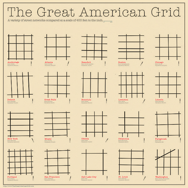
To Grid Or Not To Grid - That is the Question
An interesting article by city planner Pete Pointer, FAICP, ALA, ITE on the grid system in city development in the Journal of City Development.
journalofcitydevelopment.com
___________________
Having grown up in the midwest I am a grid guy. There is nothing wrong with some curvilinear streets and cul de sacs to give our urban landscape a little diversity. But they should connect back into a logical grid and not just meander aimlessly.
More on Grids Below
Grid plan - Wikipedia, the free encyclopedia
A simple grid plan road map (Windermere, Florida). ... Perhaps the most well-knowngrid system is that spread through the colonies of the Roman Empire. Images for grid system of roads
- Report imagesSuburban areas to get world class integrated roads - Times Of India
articles.timesofindia.indiatimes.com › Collections › World ClassApr 19, 2012 – CHENNAI: The extended areas of the Chennai Corporation will soon get world class civic amenities as the local body has approved Rs 182 ...


News From the Department of Agriculture

PLACES YOU CAN PROBABLY RETIRE TO, CHEAP
1 in 3 Counties Now Dying, with Rural and Exurban Areas Hit Hard; Immigrants Help Avert Losses - Mar 15, 2013 -- Washington Post, (DC) article reports that a record number of U.S. counties — more than 1 in 3 — are now dying off, hit by an aging population and weakened local economies that are spurring young adults to seek jobs and build families elsewhere. Nearly 46 percent of all rural (nonmetropolitan) counties had more deaths than births from July 1, 2011 to July 1, 2012.
Deaths and Births in Rural Counties - Uses a map and chart to show that 46% of rural counties had more deaths than births from July 1, 2011 to June 30, 2012.
Organization: Center for Rural Strategies. Date: 03 / 2013
Organization: Center for Rural Strategies. Date: 03 / 2013
IOWA AND WISCONSIN DOING GOOD!
The States Leading the U.S. Manufacturing Resurgence - http://www.areadevelopment.
Manufacturing is the backbone of America. It’s in our blood. Americans know how to build — it’s how we forged a nation, won two world wars, put men on the moon, and shaped the “new economy.” American workers are among the most productive in the world.
The States Leading the U.S. Manufacturing Resurgence - Exhibiting know-how and innovation, U.S.manufacturers are adding to their payrolls and economic growth across the nation. We have identified 19 states where manufacturing is leading the way... Read More. By: Mark Crawford/Area Development Magazine
Beginning farmers are less likely to inherit or purchase land from a relative than are established farmers -Beginning farms (those with an operator with 10 or fewer years of experience) made up 21 percent of all family farms in 2010, and since they are smaller, on average, than established farms, they accounted for 10 percent of the value of production on family farms. A chart is drawn and available from Beginning Farmers and Ranchers at a Glance.
YourEconomy.org (YE) is a large time-series establishment data set designed to be a practical tool for researchers, business and community leaders, and economic-growth professionals. It provides, detailed - yet quick and easy-to-access - information about businesses, agencies and organizations, and jobs at the national, state, MSA, and county levels. The site also gives policymakers and journalists the benefit of being able to look at regional economies and their business and industry activities in a new way.
U. S. Department of Agriculture-Rural Development
1717 N. Lincoln, Suite 102 / Pierre, SD 57501
Elevators and the City
Elevators made dense cities possible.
A Mid-19th-Century Milestone in the Rise of Cities
By JAMES BARRON


It was to elevators what the phrase “Mr. Watson, come here” was to telephones: “Cut the rope.”
Elisha Graves Otis said it. His assistant sliced through the thick piece of hemp that raised and lowered Otis’s newfangled elevator. The elevator dropped a bit, and stopped. Otis’s safety brake had done its job.

The device made elevators practical, and made the modern vertical city possible. “It would have been a two- or a three-story world, as opposed to now,” said Robert S. Caporale, the editor of Elevator World magazine.
Why bring this up now? For anyone who met that special person in an elevator, or endured the long silences in one with a boss who did not go for small talk, or has been stuck in one while the super figured out how to get it going again, Wednesday is an anniversary — the 160th anniversary of when Otis founded his company in Yonkers.
APA Conference
 | |
Begin with an unrivaled professional development program. Mix in unparalleled networking opportunities. Top it all off with unmatched restaurants, jazz clubs, and sights. Don't miss out; join APA in Chicago April 13-17, 2013. | |
Subscribe to:
Posts (Atom)
This blog was created to Plan the Planet. It is a work in progress - please click here if you wish to propose changes or additions or ask q...

-
This blog was created to Plan the Planet. It is a work in progress - please click here if you wish to propose changes or additions or ask q...
-
Major European cities overlaid on North America, corrected for the identical latitude ( click to view full sized ): North American cities,...
-
 Pete Pointner FAICP, ALA, ITE is publishing a new blog. A wealth of material for planners. Click to view the blog: www.petepointner.com NEED...

